
These pages contain reports of our weekly walks. Each page has 3 months of reports.
-
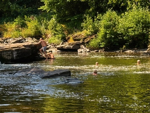
As we wandering east along the canal from Llangynidr, Chris's warm weather walk, started off pleasantly cool. The Usk Valley walk kept us beneath the trees, but it wasn’t all straightforward; we found ourselves valiantly battling brambles and nettles, and performing some impressive gymnastics over fallen logs that blocked our path. As the day heated up, we turned back from Llangattock, and with the temperature rising, we headed for the Usk, where we had a refreshing swim, much deserved after our woodland obstacle course!
-
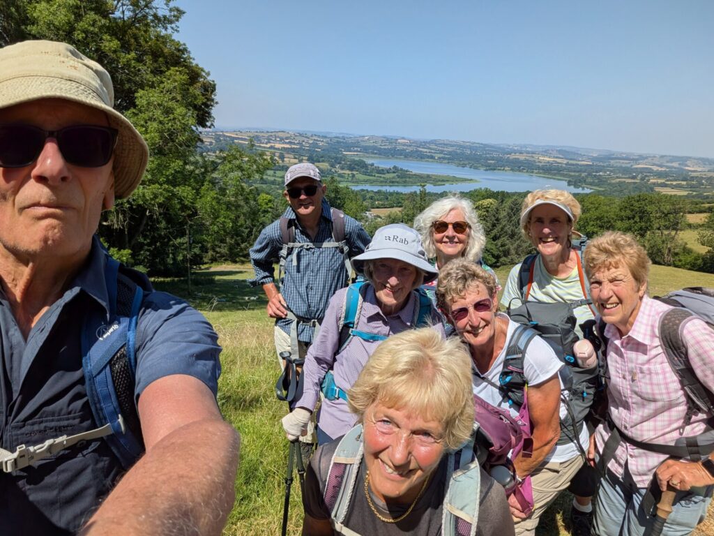
Another Wednesday, another very hot one! With appropriate democracy Denise decided to alter her planned route - now shorter and lower. Unfortunately, the brief did not say “with additional bracken, brambles and nettles” – but at least they provided some shade. The last time we walked in this area was some years ago, with Dave Andrews leading – the collective recollection from those present, was that some ‘paddling’ was required. Not so today – with the verdant pastures turning to straw.
We headed across the fields and headed up towards Allt yr Esgair, the site of an Iron Age hill fort – with, according to the two American chaps walking down, fine views over the surrounding countryside. Spurning such delights, we headed NE down a steep permissive footpath, with a sturdy fence running alongside to provide support (bracken rating – moderate at the start, making it a challenge to find the path). Crossing the valley at Cathedine on the Three Rivers Ride, we proceeded eastwards to contour the west flank of Mynydd Llangorse (bracken rating – gale force, if we were using the Beaufort scale), then up to the Cockit Hill pass, Westwards down the lanes, up the track to Court-y-Prior and some more bracken before we finished back at the car park. Many thanks to Rosemary for the ice creams – enjoyed by all.
-
Postponed from last week due to very hot weather (see below), we walked a circuit from Aberdare around some bronze age sites and hill fort remains on Mynydd Aberdare. Passing the golf course, we headed NW to Twyn Ddisgwylfa a bronze-age settlement, then circled round to cross the top of Mynydd Aberdare and continued to visit an iron age hill fort (c. 600 BC – AD 100) built around a bronze age cairn (dating to 1700–1200 BC). We returned to the cars via a variety of forest paths and tracks before dropping down to return to Aberdare.
-
It was hot. It was, very hot. The hottest few days of the year, possibly the hottest day since records began! Possibly the hottest day since the earth cooled and dinosaurs roamed the earth! Who knows? But it was certainly hot enough to dissuade the walk leader from venturing forth to Aberdare (see 1 July report). A proposal to find pools in dappled glades by the river Usk did not materialise as their location was a well-kept unknown. Finally, before the day became unbearably hot, just two of the group decided to walk from Monmouth to Symonds Yat – up one side, stopping for a swim at Biblins and then crossing on the SY ferry to return on the other side. Well done both!
-
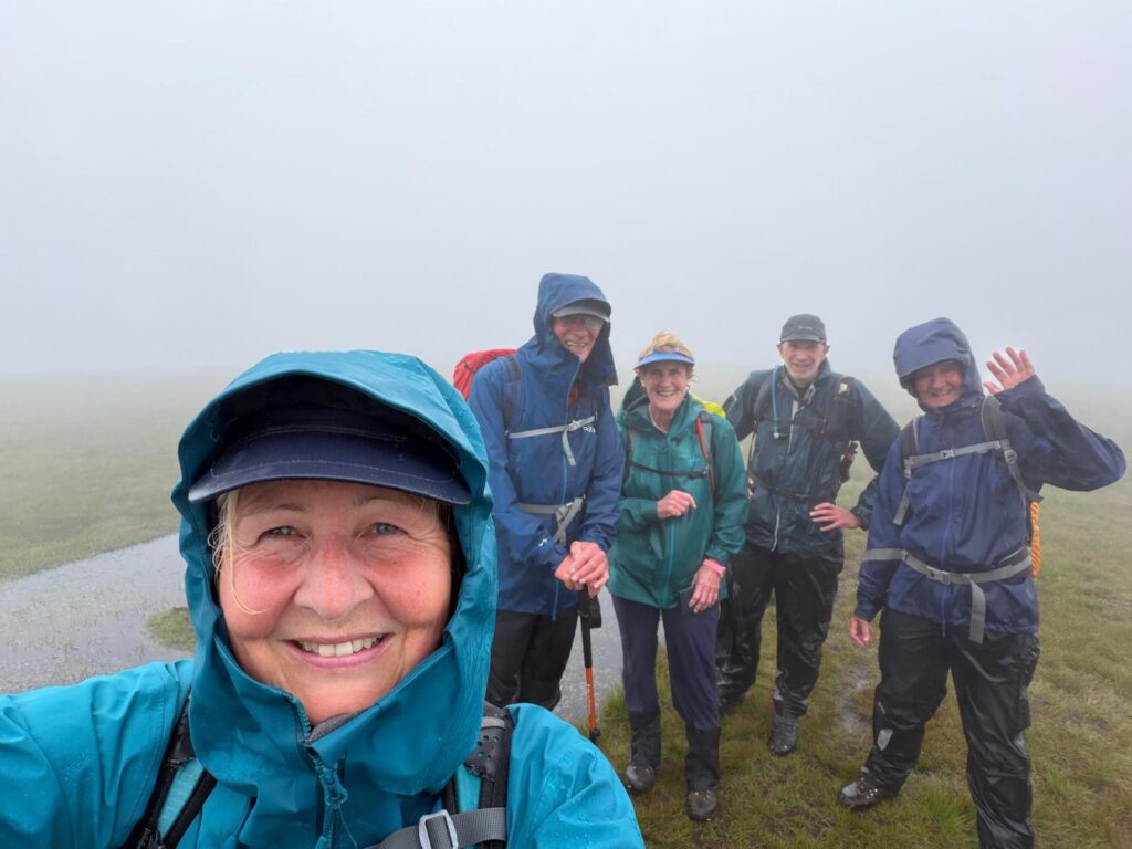
Is it a bog? Is it a stream? Is it a squelchy moor? No - it’s the route (with all three aforementioned conditions) for our next instalment of the Hillwalkers’ Cambrian Way odyssey. We headed up from the Blaen Llia car park to Fan Nedd before dropping down to pick up the CW from Maen Llia, where we headed west to the Fan Gyhirych trig. Then south and south west, passing the major limestone quarrying sites (disused) and the substantial dismantled tramway routes which served the quarries. On reaching the Beacons Way we headed NW, past the limestone pavements, many shake holes and pot hole entrances, crossing the Nedd Fechan river and along Sarn Helen, the route of a Roman road back to the cars. Solid drizzle until 2pm and then easing a bit, but visibility only exceeded 100m for the last 30-60 minutes of the walk. A very wet boot day!
-
We headed off over the fields to join the canal for a kilometre before branching off at the lock for the walk up Tor y Foel. It seems to be a hill that most of us prefer to walk down, rather than up – maybe the false summits on the way up. Down the other side and along the squelchy tramway around the head of Dyffryn Crawnon – dropping down into the mossy woods to avoid the landslip. On reaching the Nye Bevan plaque we went over the open ground, climbing a little (all rather wet underfoot) to the west of Clo Cadno and keeping above the path as we returned to crossing the fields. The weather was again much better than forecast, with one blustery shower after coffee break. Sun and cloud for the rest of the time.
-
Starting from the Stinchcombe Golf Course CP, we headed south for a short section on the Cotswold Way, before crossing east to walk ~3.5 miles through the woods (Hermitage, Dursley, Folly and Coppers Woods) which provided some shelter from the light rain, but not missing the views, which were of moderate mist. North across the Ewelme valley and up to skirt the western side of Uley Bury – a large Iron Age hill fort. With improving views we re-joined the Cotswold Way up onto Cam Long Down and then followed it through Dursley to the golf course.
-
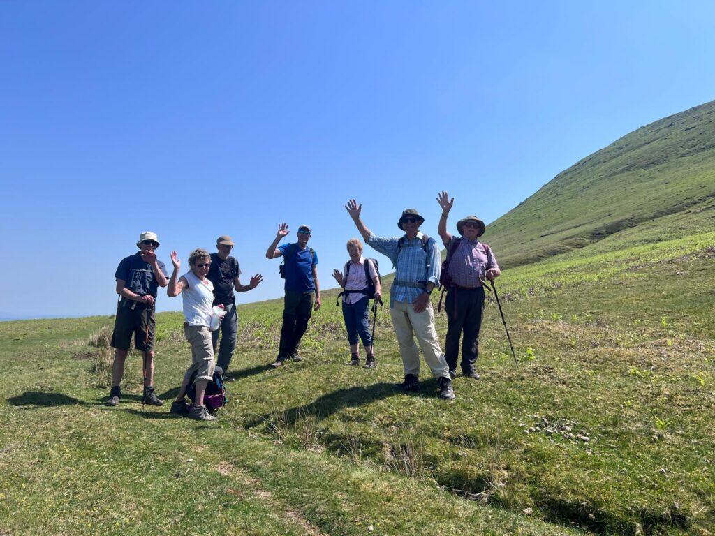
Starting from the Black Hill CP, we walked down to the Olchon valley, noting that the right of way had been diverted to the north of Black Hill Farm. A short walk along the lanes before heading up to meet the ODP at the ‘pile of stones’ – one of many which seem to have proliferated along the path to the north (being cleared for a new 'highway'?). Up to Hay Bluff and straight on down the north side before skirting round the hill, gently descending, then walking below the multiple rivulets on the face of the hill from which the feeder streams converge to form the source of the Monnow – the focus point of our walk. It was an extremely worthwhile destination, with small waterfalls, pools, grassy carpets and masses of late-flowering hawthorn – delightful. From there we headed SE along the foot of the hill, enjoying great weather, red kites soaring close by, more splendid hawthorn blossom and a route that was new to all of us. Then, cutting back, we ascended to the Black Hill ridge and the along the magnificent route down the Cat’s Back (author’s favourite!). Congratulations to Terry for a well-researched route (and parking, when it was thought the road from Longtown was too rough to use - now resurfaced in the worst parts.).
2026 05 27 Off to the Monnow 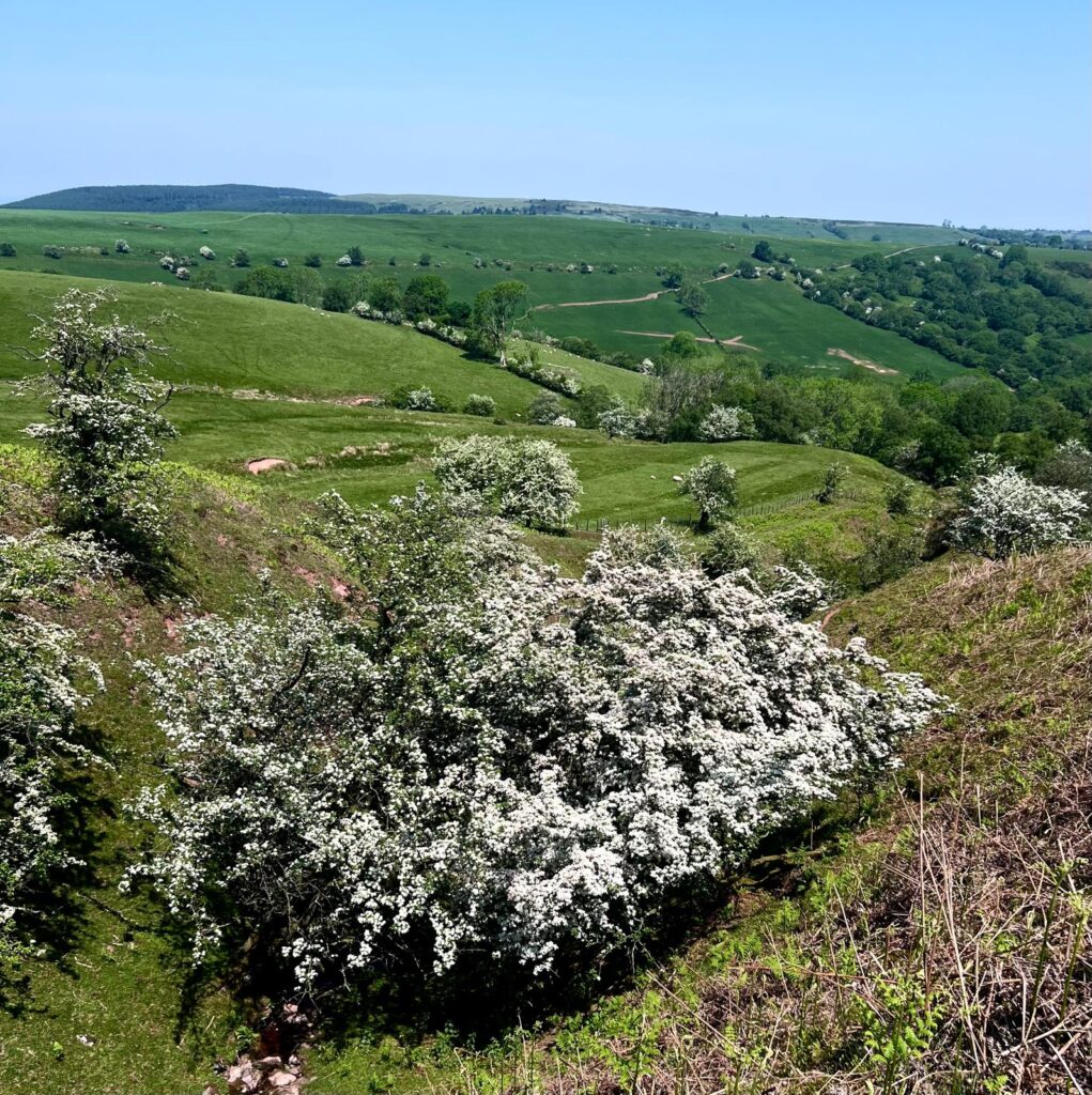
2026 05 27 Monnow May Blossom 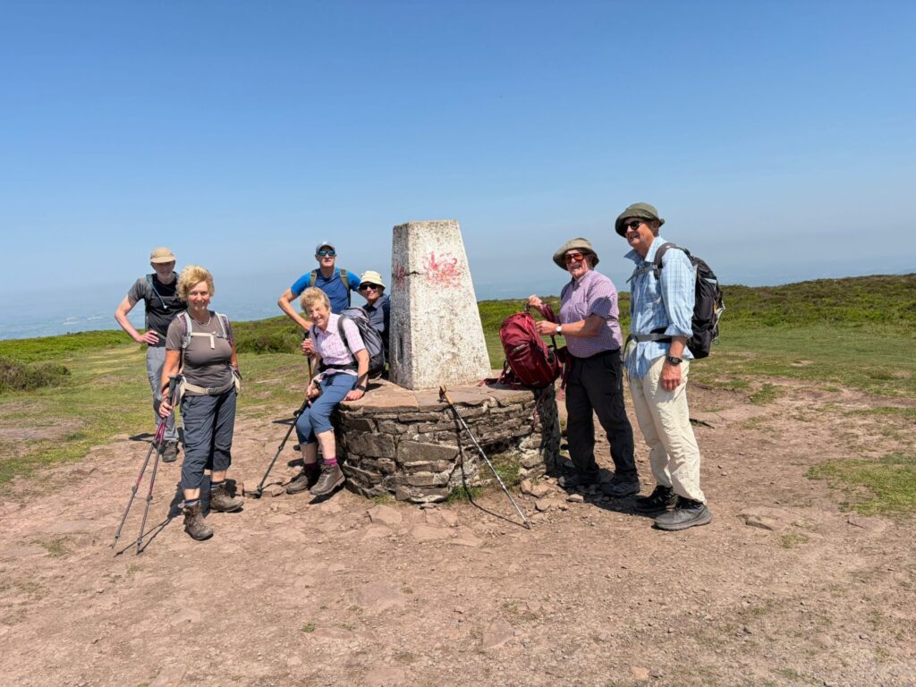
2026 05 27 Hay Bluff 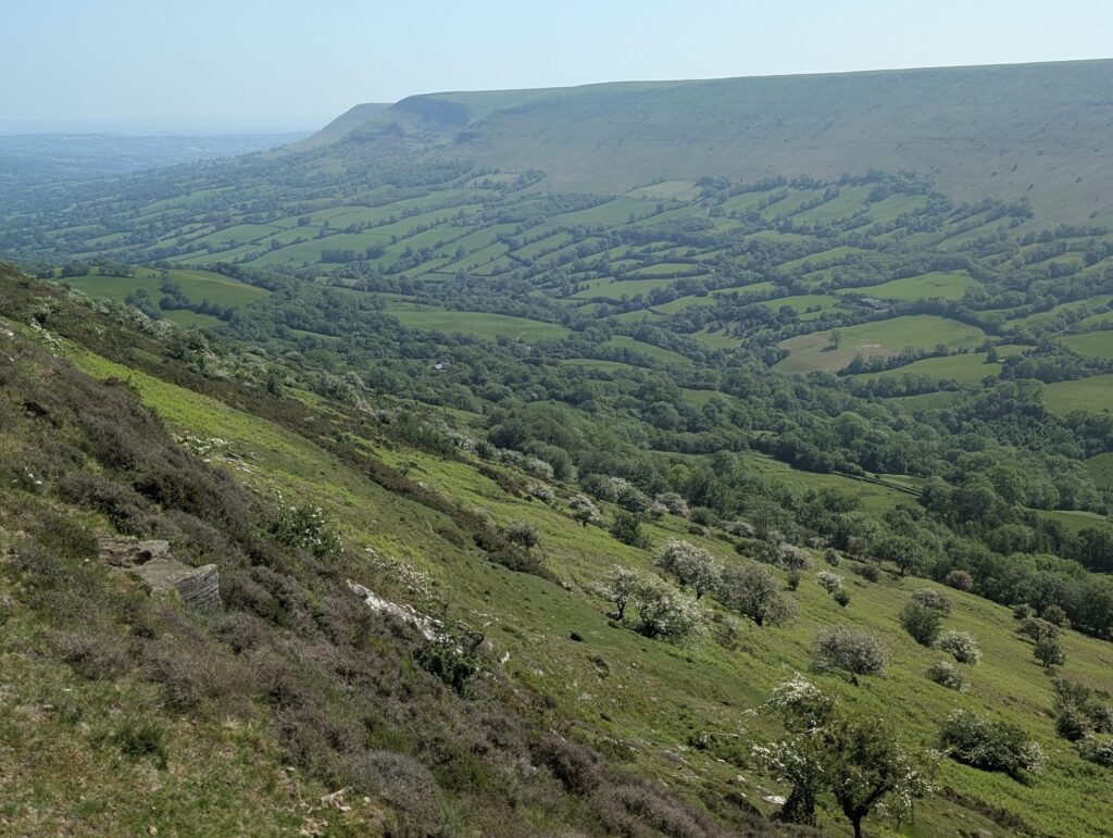
2026 05 27 From the Cat's Back 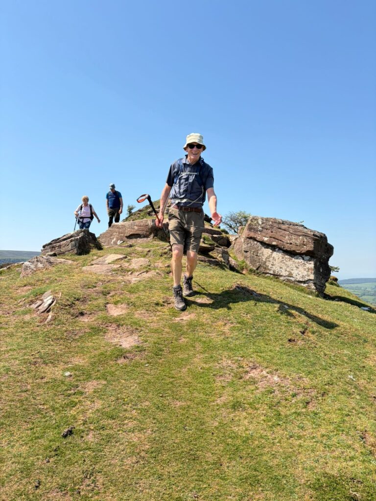
2026 05 27 Cat's Back on Source of Monnow walk -
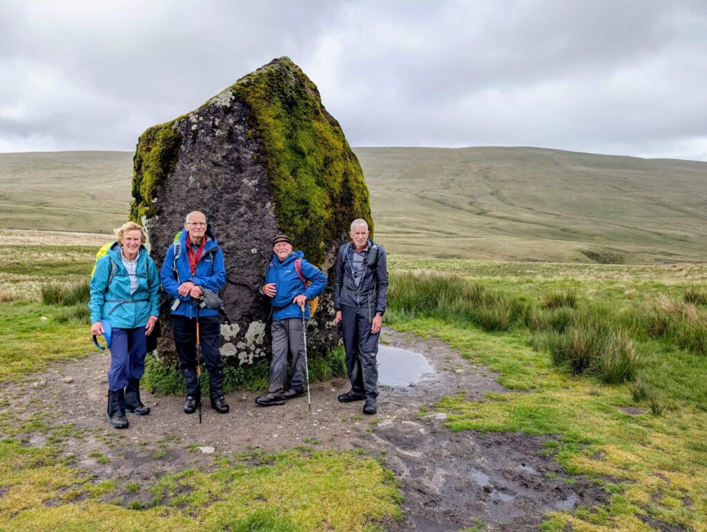
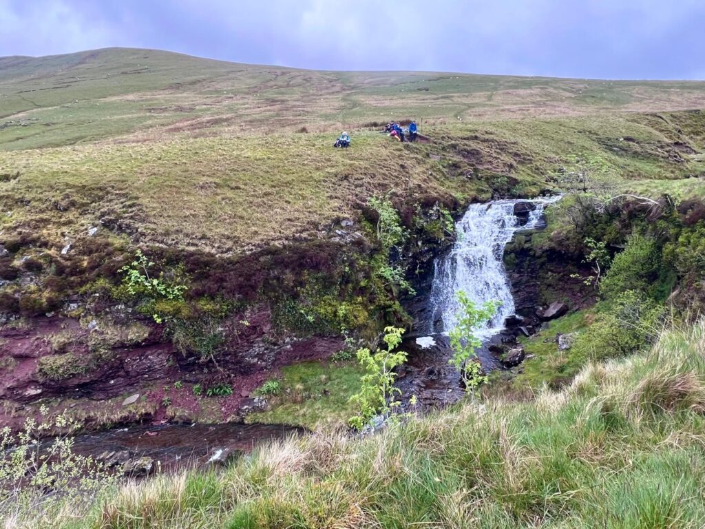
Starting from the Storey Arms, we headed west on the Cambrian Way (not much to see by way of a path on the ground) crossing over several streams which feed into the Ystrafellte Reservoir. The first of these was slightly challenging to cross, resulting in a couple of instances of ankle-dipping – the first of many during the day. It is a long time since we walked so consistently over wet and waterlogged ground – the result of several days of heavy rain. Having crossed Bryn Melyn, we dropped down to Maen Llia a 3.8m standing stone thought to date from Neolithic times. A few km of tarmac followed until we crossed the river at the Blaen Llia CP, noticing the greying skies and lowering cloud over Fan Nedd. As we approached the top of Fan Llia, the light drizzle started, which would last for most of the return leg of the walk. We crossed our outward path to walk along the edge of Craig Cerrig Gleisiad and Craig y Fro – but unfortunately with only views into the mist, as we walked down the car park.
-
It is a shame that the Met Office provides forecasts which are often more pessimistic than actual. Such was the case for our CW section from Pen y Fan to Storey Arms. We walked pretty much south from the Cwm Gwdi car park, navigated a barrier of gorse bushes, then along Cefn Cwm Llwch and up the nose of Pen Y Fan – getting pretty much all of the ascent over within the first 3 miles. There were a couple of rain showers en-route, with one v. blustery, heavier shower as we covered the last few hundred meters up into a light mist. The weather improved as we walked down to the Tommy Jones memorial and Storey Arms – accompanied by a profusion of skylarks singing away. For the return route we followed the undemanding Taff Trail (sans waterproofs) and lanes back to the car, pleased to have been guided by the rainfall radar forecast, which generally gives a better guide to the day’s weather.
-
Starting from the upper Blaen –y-glyn CP, we headed up towards Craig y Fan Ddu, picked up the Cambrian Way, then followed the route across the glacier-smoothed sandstone tops to Fan y Big. Then down into the bwlch, up to Cribyn, Pen y Fan and Corn Ddu. Magnificent views continued as we walked south along Graig Fan Ddu to the trig, then down the steep descent to the Taff Trail, where David informed us about a tunnel at the head of the Brecon Mountain Railway. Despite our many visits to the area, no one else was aware of this tunnel – so some exploring needed on a future visit. We returned along the road to the cars, with cuckoos calling in the woods. A lovely day with light cloud, warm when sheltered, but a cool NE wind at times.
-
Leaving Portishead, we walked through Weston Big Wood up to the Iron Age hill fort at Cadbury Camp. From there, we made our way to Clevedon and joined the coastal path for the trek back to the cars. It was a beautiful sunny day, and we were treated to some excellent views across the Bristol Channel.
-
The next section of our Cambrian Way walk started from the Upper Blaen-y-glyn car park, above Talybont reservoir. The first task was to complete the short CW link from the Pontsticill road to the path heading north to Craig y Fan Ddu. This was to avoid having to do it on the next CW walk. We headed eastwards on the Taff Trail – hearing our first cuckoo of the spring – before cutting off towards Pen Rhiw-calch and then up to the tramway, where Ceridwen pointed out the remains of an old Roman bridge. Down into the Dyffryn Crawnon valley and up Cwm Pyrgad to the Nye Bevan memorial, where we joined the CW. This section of the CW crosses the rough upland to the Pant y Creigiau trig and then down to the cars. Excellent weather with light cloud and sunshine – but not too warm.