
This page shows reports of the groups project walks
Filter by project walk
-
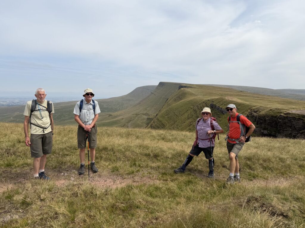
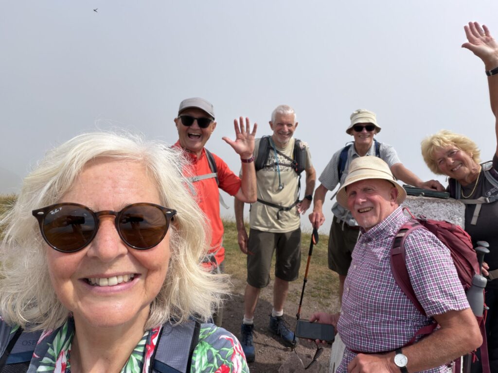
Our last Cambrian Way day walk started at Tafarn y Garreg, following the Cambrian Way up Fan Hir under a bit of low cloud, which kept things nice and cool. From there we carried on over Fan Brycheiniog and Fan Foel, with fantastic views all around and plenty of reminders of the landscape's glacial past. We dropped down past Llyn y Fan Fach to the road, where we said goodbye to the Cambrian Way for now. The return was along the Beacons Way, including the long slog up the gravel road as the temperature started to climb, before making our way back to the cars beneath the high tops. A cracking day out and a great way to round off this stretch of the Cambrian Way.
-
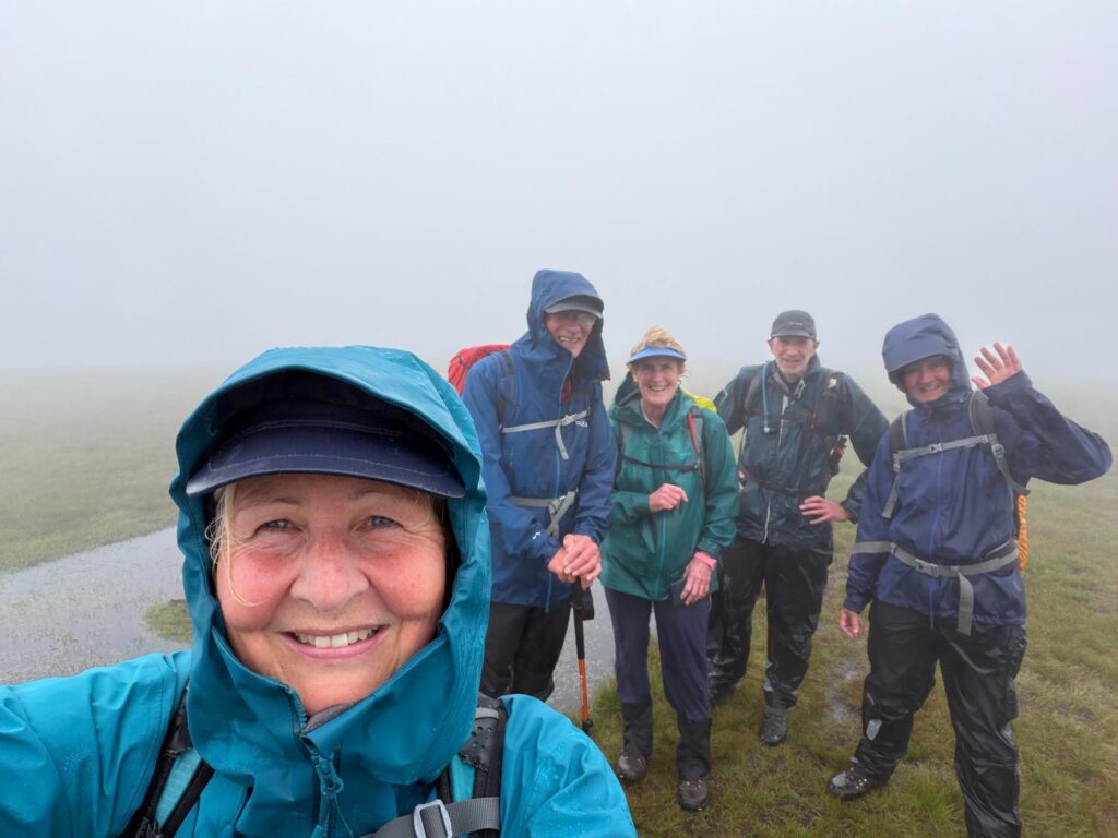
Is it a bog? Is it a stream? Is it a squelchy moor? No - it’s the route (with all three aforementioned conditions) for our next instalment of the Hillwalkers’ Cambrian Way odyssey. We headed up from the Blaen Llia car park to Fan Nedd before dropping down to pick up the CW from Maen Llia, where we headed west to the Fan Gyhirych trig. Then south and south west, passing the major limestone quarrying sites (disused) and the substantial dismantled tramway routes which served the quarries. On reaching the Beacons Way we headed NW, past the limestone pavements, many shake holes and pot hole entrances, crossing the Nedd Fechan river and along Sarn Helen, the route of a Roman road back to the cars. Solid drizzle until 2pm and then easing a bit, but visibility only exceeded 100m for the last 30-60 minutes of the walk. A very wet boot day!
-
Exploring the Northern Lakes area
The walkers were: Bolette, Stef, Ceridwen, Jane, Keith, Neil, Martin, Chris, Dave P, Dave A
and Celeste.Weather excellent apart from some mist on the way up Blencathra.
Day 1, Mosedale
We thought it was a good idea to go to one of the quieter areas of the Northern lakes today,
as the forecast was good and it was a Saturday. These are grassy rounded hills where
Wainwright “felt like the only man on earth”. We didn’t see many people either.
We started at Mosedale and walked up the valley of the river Caldew, past Swineside, then
followed Grainsgill Beck. The area has a mining past, like lots of areas of the Lakes, but
around here there is a lot of evidence. A short way up the beck is Carrock mine. Lead,
copper and arsenic had been mined for many years, but at the start of the 20 th century
tungsten was found, an important mineral in the armaments industry. This mine is the only
example of a tungsten mine in England outside Cornwall. Up to 105 men worked here in the
early part of the 1900s. It was worked sporadically after WW1 and finally closed in 1981.
Lots to see and wander round.
We continued up the Gill until we came onto open moorland and up to our first top, Knott
(710m). The hills are grass covered and rounded and there are faint paths off the main
tracks. North to Great Sca fell, then east to Great Lingy Hill and High Pike (658m), sometimes
over rough trackless moor. From High Pike an easy grassy walk to Carrock Fell (649m). From
there it’s a steep scree path to the road and back to Mosedale.Day 2, Newlands round from Little Town
From the car park we walked up Yewthwaite Comb to Hause Gate, just along the ridge from
Cat Bells. As we went up the track there was more evidence of mining, lead and copper this
time, apparently exploiting the same vein as Goldscope Mine that we shall come across
later. This area has seen a lot of mining and industrial activity for several hundred years.
From the top we continued up the ridge over Maiden Moor to High Spy. Then down to
Dalehead Tarn passing Miners Crag and up to Dale Head (753m) and onto Hindscarth
(727m). There the party split, one group turned back and went on to Robinson (737m) then
down the long slope and back to the car park (getting there before the slower party). The
second party went down Hindscarth via Scope End, a bit rocky and scrambly, passed by
three mountain bike riders !– beyond my pay grade for sure. At the bottom we explored
Goldscope Mine (see above) via the main adit. Lead and copper have been exploited here
since the 13 th century, more in the 16 th century, predominantly in the 19 th century. The adit is
wet but you can easily get to a main shaft with various obvious levels.From here it’s an easy walk back to the cars along the river valley listening to warblers
warble.Day 3, From Keswick, Walla Crag, Ashness Fell and Watendlath
Walking from the house we first stopped at the 4,500 year old Neolothic (probably)
Castlerigg Stone Circle with great views all around. Walking across fields we then went up
Brockle Beck to Walla Crag which has magnificent views over Derwent Water and Keswick.
From here onto open moorland and Bleaberry Fell for a coffee stop. Then over the moor,
which is being re-wetted, along duckboards to High Seat(608m) and High Tove, passing The
Pewits and Eddie Grave Stake (origin of the name variable). From here straight down to
Watendlath, and down through glorious woodland, crossing pretty streams and being
entertained by walkers delicately crossing stepping stones. Arrived at the Lodore Hotel just
in time for the bus to take us back to Keswick.
One party member went up Skiddaw, taking the opportunity of the fine weather to make
another high ascent, a great day was had on the high hills in special weather.Day 4, Blencathra and Sharp Edge
Starting at Mungrisdale, we followed the river Glenderamackin, then crossed the river and
contoured Scales Fell then climbed up to Scales Tarn. The party split, one group ascending
via Sharp Edge, the others by a slightly less steep route, all meeting at Hallsfell Top (868m).
Swirling mist and a bit of drizzle but still reasonable views. Descending Foule Crag, then via
Mungrisdale Common to Bannerdale Crags with spectacular views (more mines), across to
Bowscale fell and descended Tarn Crags to the tarn. Nobody swam. Back along Grainsgill
Beck with fantastic gorse on the opposite bank, to Mungrisdale.Day 5, Grasmoor via Hopegill Head
We caught the bus to Lanthwaite Green Farm in the Buttermere valley (and a jolly good ride
it was for £3). The ascent is steep and slatey, quite hard work with a few minor scrambles.
Once the top of Whiteside is reached (707m) the path levels out into a lovely ridgewalk to
Hopegill Head (770m) with Gasgale Crags to the right, a steep corrie bowl, and ridges
coming up from the left. Hopegill Head is on the Calderdale round, so we could seeinto the
hills just south of Keswick not so far away. From here down to Coledale Hause just below Eel
Crag. From here a grassy slope up to Grasmoor at 852m. This is really a plateau with valleys
radiating in all directions. We then cut across E and then S down to Buttermere via
Whiteless Edge. On the descent we were met by the botanists in the party who had spent
some time admiring the bluebells in Rannerdale and who had had a thoroughly enjoyable
low level day. Bus home.Day 6, Red Pike to Seat
We again caught the bus to start the walk at Buttermere. Crossing the northern end of
Buttermere, up through woodland then onto open hillside and up Sourmilk Gill to Bleaberry
Tarn, a lovely stop for coffee (once located). From here it’s a scramble up a scree slope to
Red Pike at 765m. The views were again fantastic, but given the weather we were having
that helped! Buttermere, Crummock Water, Loweswater, Ennerdale are all clearly seen, and
north to the distant Solway Firth. Another lovely ridgewalk with a pretty wide top along to
High Stile (807m), then along the top of Comb Crags with steep and deep ravines cutting to
the valley floor. Rock climbers were having fun. Then to High Crag (744m), steeply down
Gamlin End to Seat, then down to the southern end of Buttermere across Buttermere Fell. A
well-deserved, very good, ice cream at Gatesgarth Farm ended a very enjoyable 6 days
hillwalking.Total distance approx. 60 miles and 5,392 metres of ascent.
-
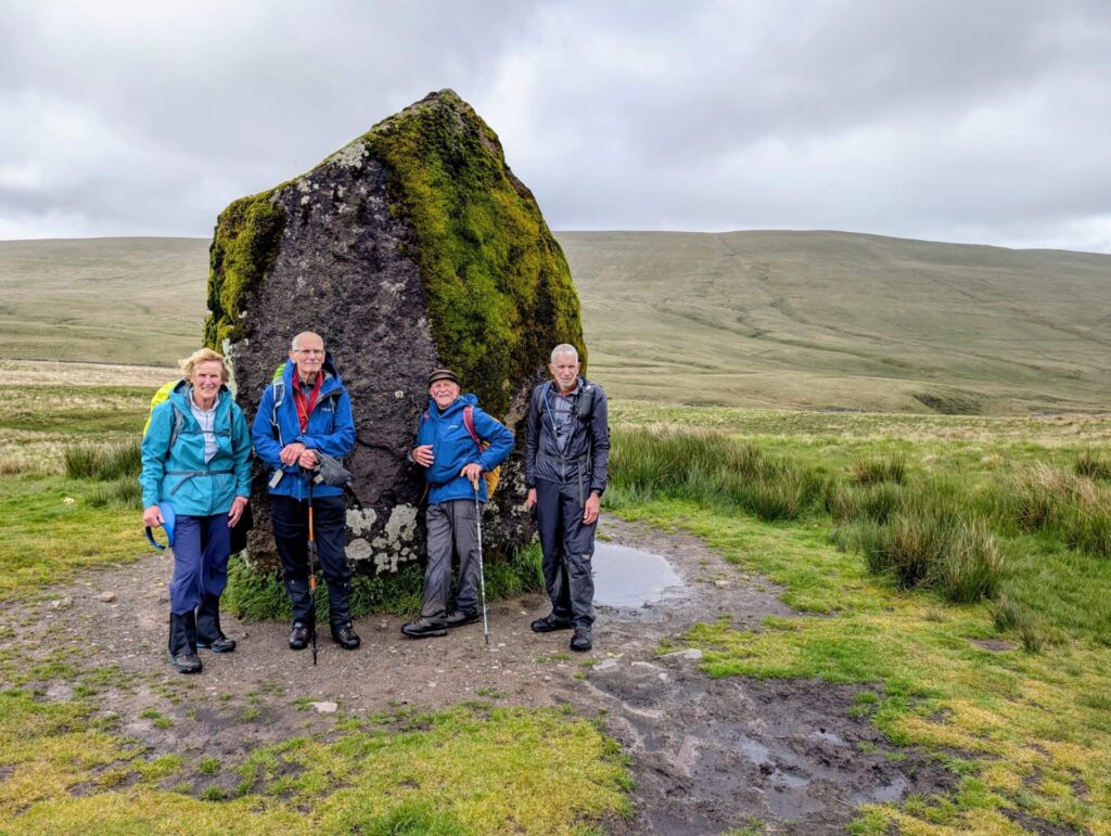
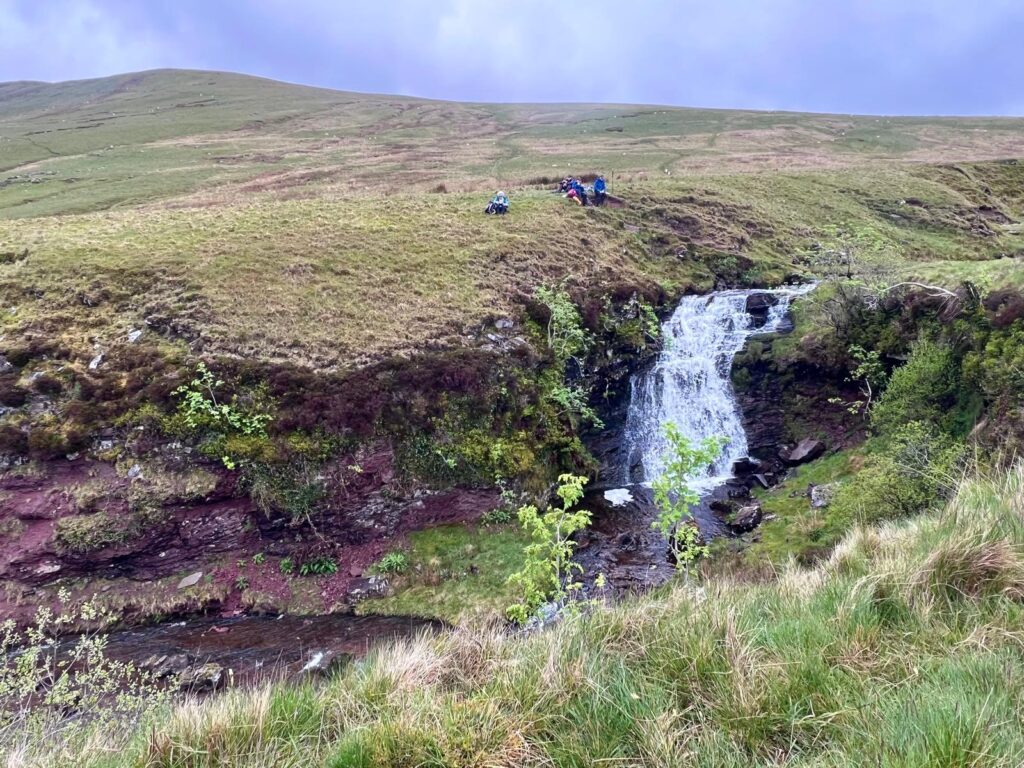
Starting from the Storey Arms, we headed west on the Cambrian Way (not much to see by way of a path on the ground) crossing over several streams which feed into the Ystrafellte Reservoir. The first of these was slightly challenging to cross, resulting in a couple of instances of ankle-dipping – the first of many during the day. It is a long time since we walked so consistently over wet and waterlogged ground – the result of several days of heavy rain. Having crossed Bryn Melyn, we dropped down to Maen Llia a 3.8m standing stone thought to date from Neolithic times. A few km of tarmac followed until we crossed the river at the Blaen Llia CP, noticing the greying skies and lowering cloud over Fan Nedd. As we approached the top of Fan Llia, the light drizzle started, which would last for most of the return leg of the walk. We crossed our outward path to walk along the edge of Craig Cerrig Gleisiad and Craig y Fro – but unfortunately with only views into the mist, as we walked down the car park.
-
It is a shame that the Met Office provides forecasts which are often more pessimistic than actual. Such was the case for our CW section from Pen y Fan to Storey Arms. We walked pretty much south from the Cwm Gwdi car park, navigated a barrier of gorse bushes, then along Cefn Cwm Llwch and up the nose of Pen Y Fan – getting pretty much all of the ascent over within the first 3 miles. There were a couple of rain showers en-route, with one v. blustery, heavier shower as we covered the last few hundred meters up into a light mist. The weather improved as we walked down to the Tommy Jones memorial and Storey Arms – accompanied by a profusion of skylarks singing away. For the return route we followed the undemanding Taff Trail (sans waterproofs) and lanes back to the car, pleased to have been guided by the rainfall radar forecast, which generally gives a better guide to the day’s weather.
-
Starting from the upper Blaen –y-glyn CP, we headed up towards Craig y Fan Ddu, picked up the Cambrian Way, then followed the route across the glacier-smoothed sandstone tops to Fan y Big. Then down into the bwlch, up to Cribyn, Pen y Fan and Corn Ddu. Magnificent views continued as we walked south along Graig Fan Ddu to the trig, then down the steep descent to the Taff Trail, where David informed us about a tunnel at the head of the Brecon Mountain Railway. Despite our many visits to the area, no one else was aware of this tunnel – so some exploring needed on a future visit. We returned along the road to the cars, with cuckoos calling in the woods. A lovely day with light cloud, warm when sheltered, but a cool NE wind at times.
-
The next section of our Cambrian Way walk started from the Upper Blaen-y-glyn car park, above Talybont reservoir. The first task was to complete the short CW link from the Pontsticill road to the path heading north to Craig y Fan Ddu. This was to avoid having to do it on the next CW walk. We headed eastwards on the Taff Trail – hearing our first cuckoo of the spring – before cutting off towards Pen Rhiw-calch and then up to the tramway, where Ceridwen pointed out the remains of an old Roman bridge. Down into the Dyffryn Crawnon valley and up Cwm Pyrgad to the Nye Bevan memorial, where we joined the CW. This section of the CW crosses the rough upland to the Pant y Creigiau trig and then down to the cars. Excellent weather with light cloud and sunshine – but not too warm.
-
Leaving the Blaen Onneu car park we rejoined CW where we left it on the last leg. Across the open moorland and up to the trig on Mynydd Llangynidr where the first rain showers came in. From there we continued to Chartist Cave, then on across more open moorland to meet the Trefil Quarry road above Darren Ddu. From there back along to Trefil taking the high route above the quarry. Into Trefil and out along the old railway track. Leaving the track we headed N on a well-marked path to Llangynydr reservoir. The rain came in persistently then. Across even more open moorland following sheep tracks N. Significant dolines apparent, one water filled. Then back to the cars, but with a horrid hailstorm just before the finish. Wonderful moorland walk with lots of weather, again showing the landscape variety of our hills.
-
A further stage of the Cambrian Way. From Crickhowell we walked through Llangattock and up two sections of old tramway routes used for bring limestone-carrying wagons down to the canal. The routes are steep and in poor condition, with grooves in the stone from the ropes and cables used to control the wagons’ descent. After walking past the old limestone workings and cave entrances, we dropped down into the Craig y Cilau nature reserve and then up to the minor road, where we headed west for 2km of road walk towards the Blaen-Onneu quarry. Then northwards along the edge of the open access land, across a minor road and down a very uneven, water-scoured lane to Llwynon Farm (not to recommended as a route) and onto the Usk Valley Walk, which led us down to the canal and our return route to the car park. An overcast, but mild day – pleasant walking conditions and mainly dry underfoot.
-
We headed north from Crickhowell up Cwm Cumbeth, then through the sheepfold and on to Table Mountain. From there, we walked along the eastern boundary of the open access land, dropped down to the road before Ty Croes Farm, then NW-wards over Tal Trwynau to Pen Twyn Glas where we joined the CW, to follow it back to town. Pleasing to hear the call, and have a sighting, of a yellowhammer en-route, and hearing a goshawk in the woods to the east (report courtesy of our resident ornithologist). South to our highest point at Pen Alt-mawr, where a slight deviation took us towards Pen Gloch-y-pibwr, before correcting over rough ground to the CW. The track on the top is no longer the previously rough stones, but made up with large stone blocks and stretches of aggregate. Passing to the east of table mountain (which, btw, is a far more impressive sight when viewed from high ground to the north, than elsewhere) we descended into Crickhowell. This was the best weather of the year to date – warm, sunny, little cloud and only a slight cold wind for a while on top.

20260318 Pen Twyn Glas - Cambrian Way